You are here:
Home
› Maps
Interactive Maps:
- DRWW Monitoring Data Web Application
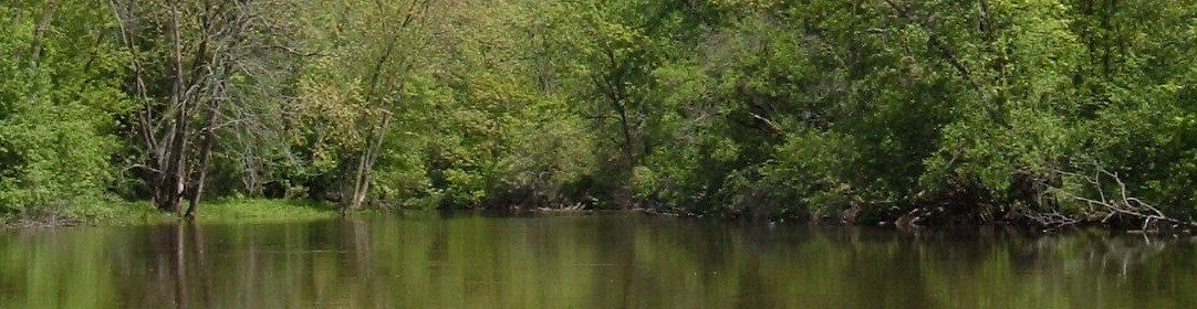
The DRWW samples annually for water quality at 73 sites, divided into four tiers. Tier one sites are sampled the most, and are located on the mainstem of the Des Plaines River and Mill Creek. Each succeeding tier are sampled at progressively lower rates. More more detailed water quality data see annual data results below.
- Des Plaines River Watershed-Based Plan Webapplication
The Des Plaines River Watershed-Based Plan Web Mapping Application was designed to provide a wide audience of end-users with an easy-to-use, interactive mapping tool to assist in identifying actions outlined in the Des Plaines River Watershed-Based Plan. Please note: this Webapplication is intended to be a planning tool to help users identify and prioritize potential actions outlined in the watershed-based plan.
Maps Available to Download: